
The Role of Computing in Humanitarian Aid and Disaster Relief
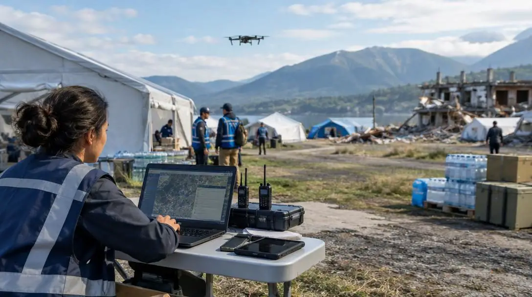
Humanitarian aid and disaster relief operations are vital to saving lives and rebuilding communities after natural disasters, violent conflicts, and complex humanitarian emergencies. Historically, mounting an effective response relied heavily on manual physical assessments, paper-based records, fragmented communication networks, and localized decision-making. While these traditional methods saved countless lives, they routinely suffered from severe information bottlenecks, operational delays, and logistical blind spots. Responders arriving in a devastated region frequently worked with outdated or missing intelligence, unsure of which roads were passable, which medical centers remained operational, or where displaced populations had gathered.
The rapid evolution of modern computing technologies has fundamentally reshaped this operational landscape. Rather than entering crisis environments blindly, contemporary aid agencies deploy computational infrastructure that converts massive streams of raw data into actionable intelligence. Computational mechanisms such as automated early warning platforms, centralized data management systems, remote sensing networks, and dynamic mapping interfaces allow relief coordinators to deploy finite resources directly where they can achieve the greatest impact.
Key takeaways
- Computing transforms humanitarian aid from a fragmented, reactive process into an evidence-based, coordinated operational pipeline.
- Automated early warning systems detect seismic, atmospheric, and hydrological hazards to issue life-saving alerts before disasters strike.
- Remote sensing and collaborative digital mapping enable relief workers to inspect damage and route supplies through compromised terrain without risking personnel.
- Deployments in Haiti and Syria illustrate how digital tools adapt to both sudden-onset natural cataclysms and protracted, dangerous conflict environments.
- Future breakthroughs in humanitarian computing depend on integrating artificial intelligence, autonomous robotics, and blockchain-based supply tracking while safeguarding beneficiary privacy.
Core Computational Mechanisms in Disaster Response
Understanding how technology enhances disaster relief requires examining the computational tools deployed throughout the emergency lifecycle. Rather than operating as standalone software, these mechanisms form an interconnected digital pipeline that handles everything from initial hazard detection to ongoing community recovery.
Early warning systems rely on high-throughput computing to predict natural disasters such as earthquakes, hurricanes, and tsunamis. By processing real-time telemetry from seismic sensors, atmospheric pressure gauges, and marine buoys, these systems identify dangerous geophysical patterns and distribute automated warnings to populations in affected areas. Automated alerts eliminate human processing delays, providing civilians and civil protection agencies with critical windows to seek shelter or evacuate.
Data management and analysis systems address the chaos of emergency operations by organizing disparate information into structured databases. Responders use analytical software to aggregate ground assessments, hospital bed availability, supply inventories, and demographic surveys. Analyzing these datasets allows relief agencies to understand shifting population needs, evaluate the effectiveness of delivered aid, eliminate the duplication of resources, and adjust operational strategies as conditions evolve.
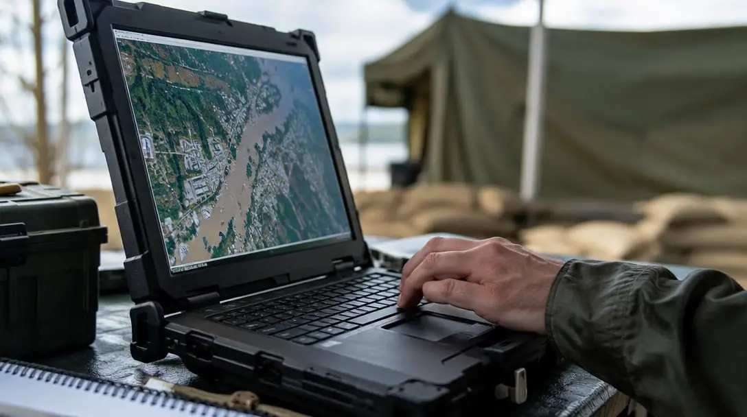
Remote sensing technologies gather crucial geographic and structural data from a distance, using satellite imagery and unmanned aerial vehicles to assess areas that are physically inaccessible. When floods submerge transit routes or combat operations close borders, remote sensing provides high-resolution overhead telemetry to detect structural collapses, identify safe transit corridors, and locate displaced encampments.
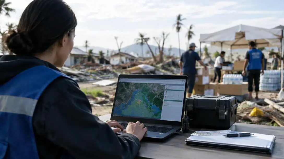
Mapping and visualization platforms translate complex analytical data into actionable visual formats. By rendering geographical maps, interactive graphs, and resource dashboards, these systems allow decision-makers to digest logistical situations rapidly. Layering damage reports and demographic indicators onto digital cartography ensures field coordinators can direct ground convoys around road hazards directly to vulnerable populations.
| Computational Mechanism | Primary Data Inputs | Operational Role | Core Field Benefit |
|---|---|---|---|
| Early Warning Systems | Seismic sensors, weather telemetry, marine buoys | Hazard forecasting and rapid alert dispatch | Provides pre-impact evacuation windows to save lives |
| Data Management and Analysis | Field reports, patient registries, supply inventories | Information aggregation, hygiene, and evaluation | Eliminates redundant aid distribution and aligns supplies with need |
| Remote Sensing | Satellite photography, aerial drone footage | Long-distance spatial and environmental surveillance | Enables infrastructure damage assessment without physical risk |
| Mapping and Visualization | GIS datasets, logistical metrics, population records | Dynamic cartographic rendering and dashboard tracking | Offers rapid operational visibility over routes, camps, and hazards |
Real-World Application: Implementations in Haiti and Syria
The operational value of computational infrastructure is most apparent when evaluated inside real-world crisis theaters. Deployments in Haiti and Syria highlight how digital tools adapt to both sudden natural catastrophes and protracted violent conflicts.
Haiti
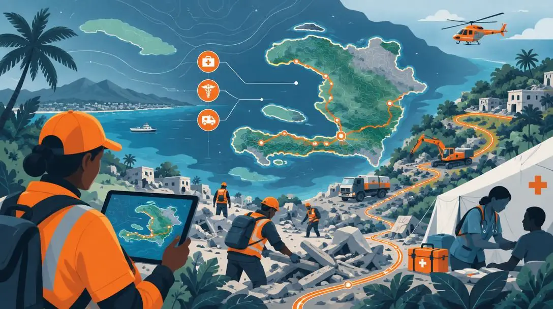
- Crisis Category: Sudden-onset natural disaster
- Primary Technologies: Collaborative mapping, satellite imagery, remote sensing
- Operational Focus: Debris routing, medical deployment, sanitation targeting
Following catastrophic disaster conditions in Haiti, the collapse of municipal infrastructure created severe logistical paralysis. Relief organizations responded by deploying open, collaborative digital mapping workflows alongside high-resolution satellite imagery. Because ground transport was blocked by debris and existing paper street maps were obsolete, computational mapping platforms ingested overhead remote sensing feeds to trace accessible roads, locate collapsed bridges, and pinpoint informal displaced-person camps. These real-time visualizations allowed international medical teams to navigate around physical obstructions, deliver drinking water to dense encampments facing high risks of disease outbreak, and establish emergency clinics in strategically viable locations.
Syria
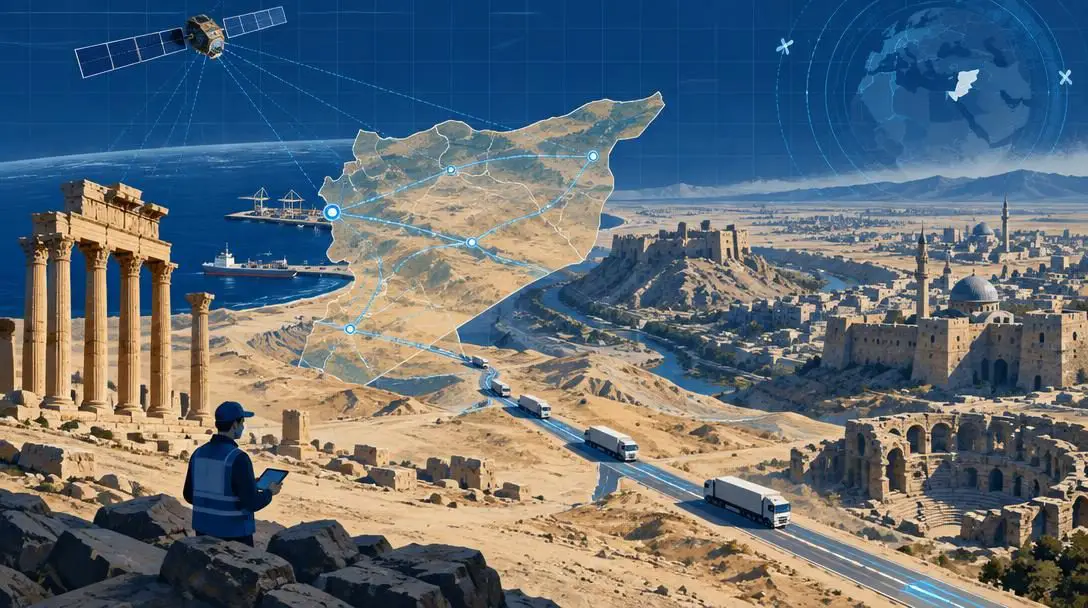
- Crisis Category: Protracted armed conflict environment
- Primary Technologies: Remote sensing, high-resolution satellite tracking, secure data management
- Operational Focus: Infrastructure damage tracking, corridor verification, supply monitoring
The operational theater in Syria presented challenges arising from sustained armed conflict, where extreme security risks frequently barred humanitarian workers from entering active combat zones. Aid agencies leveraged remote sensing technologies and satellite imagery to evaluate building destruction, verify damage to healthcare facilities, and monitor large-scale civilian movements from a safe distance. Complementing overhead surveillance, centralized data management systems tracked relief convoys through contested transit corridors, ensuring organizations maintained operational visibility over critical food and medical shipments while adjusting logistics schedules as frontline security conditions shifted.
Practical Steps: Implementing Computing Technologies in Relief Operations
Integrating computational tools into high-stress crisis environments requires standardized operational protocols to ensure technology actively supports aid delivery rather than introducing friction. Disaster response agencies follow a structured workflow to deploy digital infrastructure effectively:
- Establish resilient data infrastructure: Deploy ruggedized hardware, secure local server redundancy, configure offline-capable mobile tools, and set up secondary backup power systems to ensure software functions despite total municipal grid failures.
- Standardize data ingestion protocols: Define consistent collection schemas and shared formats across mobile survey teams, remote sensors, and satellite analysts to ensure incoming field information integrates cleanly into core analytical platforms.
- Deploy remote sensing and mapping platforms: Commission satellite tasking and launch aerial drone surveys over the disaster footprint, feeding visual captures into mapping engines to verify passable access routes and identify damaged structures.
- Aggregate and analyze incoming field data: Ingest ground assessments, medical inventories, and population demographics into centralized databases, running analytical routines to uncover distribution gaps and emerging operational bottlenecks.
- Generate visual decision dashboards: Convert analytical outputs into dynamic geographic maps, status charts, and resource dashboards so incident commanders can evaluate relief coverage and logistical threats at a glance.
- Iterate and adjust operations: Continuously feed new operational realities back into the computational pipeline, dynamically re-routing convoys, shifting supply allocations, and repositioning relief workers as ground conditions change.
Common Mistakes in Technological Disaster Relief
While digital interventions can transform relief efficiency, poorly planned technical rollouts create severe liabilities in fragile environments. Organizations frequently encounter systemic pitfalls when deploying technology under emergency conditions:
- Failing to account for infrastructure constraints: Procuring complex, cloud-tethered applications that rely on persistent broadband and stable electrical grids leaves field teams paralyzed during wide-scale telecommunication blackouts.
- Collecting fragmented, non-interoperable data: Operating proprietary, isolated data systems prevents different relief agencies from sharing operational records, creating duplicated supply deliveries and blind spots in unserved areas.
- Over-relying on remote imagery without ground context: Treating overhead satellite photos as a complete operational picture can lead to flawed assessments, as aerial sensors cannot reliably detect contaminated water systems or internal structural instability.
- Neglecting data privacy and security protocols: Storing unencrypted records containing personal identities, medical records, or geographic locations exposes vulnerable civilian populations to hostile surveillance, extortion, or physical retaliation.
- Deploying complex visualizations that paralyze decision-making: Building dense, cluttered visual dashboards packed with unnecessary indicators slows command decisions down instead of offering the clear operational clarity required during emergencies.
Future Horizons: Emerging Technologies in the Humanitarian Field
The technical solutions currently deployed in crisis zones are only an initial baseline for an expanding technological ecosystem. Emerging computational disciplines offer solutions to longstanding humanitarian bottlenecks.
Computing acts as the common operational language that connects disparate actors, turning chaotic crisis environments into coordinated, evidence-based relief operations.
Artificial Intelligence and Machine Learning
Artificial intelligence (AI) and machine learning (ML) are rapidly advancing computational capabilities across disaster management. These algorithms process immense volumes of real-time sensor data and historical emergency records to detect patterns and predict future disaster risks before they manifest. In logistics, AI optimizes complex supply chains by calculating the most efficient transport routes through dynamic terrain and forecasting future inventory shortages across displaced communities. By shortening the duration between threat identification and physical mobilization, machine learning systems enable humanitarian agencies to transition toward pre-emptive crisis mitigation.
Robotics and Drones
Unmanned robotics and autonomous drones play an expanding role in dirty, dangerous, and inaccessible environments. Drones conduct rapid aerial damage assessments over vast disaster footprints, identifying structural hazards and locating stranded populations without endangering field personnel. In logistics, specialized cargo drones transport urgent payloads—such as blood products and critical pharmaceuticals—into isolated enclaves cut off by infrastructure damage. On the ground, specialized search-and-rescue robotics navigate collapsed buildings, clear physical debris, and assist in stabilizing ruined urban zones, though agencies must carefully manage privacy concerns and operational safety risks during active deployments.
Blockchain Technology
Blockchain offers decentralized, tamper-resistant digital ledgers that address accountability and identity bottlenecks in relief operations. Distributed ledgers improve supply chain transparency by tracking shipments from initial donor procurement to final end-user delivery, ensuring allocated resources reach their intended recipients without leakage or diversion. Furthermore, blockchain networks can store tamper-proof digital identity records for refugees and displaced populations who have lost official paperwork, streamlining their ability to access legal protections, healthcare services, and humanitarian financial assistance across international borders.
Ethical and Operational Challenges in Digital Relief
Deploying advanced computational infrastructure inside humanitarian crises introduces complex operational and ethical dilemmas that agencies must navigate. The collection of granular personal data—including biometric information, medical status, and precise shelter coordinates—creates serious risks for vulnerable populations. In active conflict regions, compromised databases can be weaponized by hostile forces to locate marginalized groups or target humanitarian warehouses. Aid agencies must maintain stringent encryption protocols, minimize unnecessary data gathering, and ensure digital identity frameworks do not become tools of surveillance.
Technological deployments can also worsen inequities if access to digital platforms is unevenly distributed among affected populations. When resource distribution models rely primarily on mobile survey data, marginalized civilians who lack smartphones, reliable power, or digital literacy risk being systematically excluded from aid rosters. Humanitarian organizations must balance automated computational insights with sustained community engagement, ensuring that high-tech pipelines adapt to human realities rather than forcing fragile populations to conform to rigid algorithmic criteria.
Frequently asked questions
How do early warning systems use computing to predict disasters?
Early warning systems gather automated telemetry from physical sensors, including seismic monitors, ocean buoys, and atmospheric stations. Computational algorithms analyze these data streams to detect sudden environmental anomalies, forecast the trajectory and severity of events like tsunamis or hurricanes, and dispatch automated alerts directly to emergency personnel and the public before impact.
What role did computing technologies play during the Haiti earthquake recovery?
In Haiti, computing technologies enabled the creation of open, collaborative digital maps that documented collapsed buildings, blocked roadways, and informal medical sites. Combining remote sensing with spatial databases allowed ground teams to navigate around debris, distribute sanitation resources to prevent disease outbreaks, and direct field clinics to dense refugee camps.
Why is remote sensing critical for humanitarian operations in conflict zones like Syria?
In active war zones, extreme violence often prevents field workers from conducting in-person safety and needs assessments. Remote sensing uses satellite imagery and aerial tools to evaluate infrastructure damage, inspect targeted healthcare facilities, and monitor civilian displacement from safe distances, protecting relief workers while maintaining operational awareness.
How can aid agencies prevent computing systems from failing during electrical grid outages?
Organizations maintain operational resilience by procuring ruggedized hardware, provisioning backup power generators, establishing local server redundancy, and configuring data collection tools to operate completely offline. Systems store collected field data locally on handheld devices and synchronize automatically once connectivity is re-established.
How does blockchain technology improve disaster relief transparency?
Blockchain establishes immutable, cryptographically verified ledgers that track supply chain items from procurement through distribution. This prevents corruption and supply leakage, confirms aid arrives where intended, and provides displaced individuals with verifiable digital credentials to access medical care and food aid without conventional paperwork.
The bottom line
Computing is no longer an optional accessory in humanitarian response; it is a foundational pillar of modern crisis management. By transitioning the sector away from incomplete paper records and ad-hoc physical assessments, computational infrastructure equips responders with the intelligence required to navigate complex emergencies. From automated early warnings that grant communities minutes to flee incoming hazards, to satellite-driven cartography that guides supply convoys through devastated cities, computing bridges the gap between chaotic catastrophe and structured recovery.
As crises grow in frequency and scale, the integration of artificial intelligence, autonomous robotics, and secure distributed ledgers will further expand what disaster relief operations can achieve. However, technical innovation must remain grounded in ethical standards, strict data protection protocols, and an acute awareness of local field realities. When applied responsibly, computational technologies ensure that aid organizations do not simply react to disaster, but anticipate needs, protect dignity, and save lives with greater precision than ever before.