The Use of Computing in Environmental Monitoring and Conservation
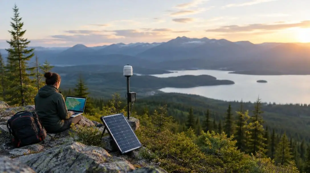
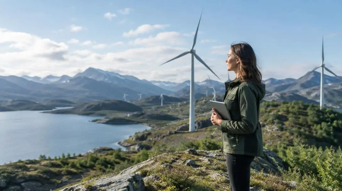
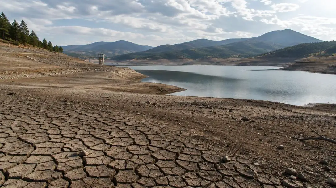
For generations, protecting the natural world depended on boots on the ground, handwritten field logs, and periodic observational surveys. While traditional field biology established the foundation of modern ecology, human observations were unavoidably slow, labor-intensive, and bounded by physical geography. Today, the urgent need to protect global ecosystems has driven a major shift toward digital monitoring infrastructure, transforming sporadic field excursions into continuous, high-speed data evaluation networks.
By deploying digital processors, remote sensors, and network communications into wilderness areas, conservation science has entered an era of rich, continuous data streams. Computing technology bridges longstanding logistical gaps, shortening the timeline between the first sign of ecological distress and the rollout of an on-the-ground conservation response.
Key takeaways
- Environmental monitoring identifies threats and tracks ecosystem health, while conservation applies that intelligence to protect and preserve natural resources.
- Dedicated field hardware, orbiting satellites, and aerial drones collect real-time data on habitat health and animal movements without creating unnecessary ecological disturbance.
- Predictive computational modeling fuses historical baselines with real-time inputs to forecast how wildlife populations and habitats will respond to future environmental shifts.
- Automating data ingestion, calibration, and analysis frees conservation professionals to focus on direct habitat restoration and local community engagement.
The Evolution of Conservation Computing
Preserving fragile ecosystems requires a clear operational distinction between two disciplines: environmental monitoring and conservation. Environmental monitoring is the ongoing process of gathering data on the natural environment to assess baseline health and catch hazards before they trigger irreversible harm. Conservation, by contrast, represents the organized effort to protect, restore, and maintain those natural resources for future generations. Computing unites these disciplines by turning raw, physical indicators into systematic, data-driven management strategies.
Historically, an ecologist might visit a remote wetland once a season to record water chemistry, note temperature variations, and tally bird populations. This periodic approach often missed transient chemical spills, rapid temperature spikes, or subtle changes in wildlife movement. The introduction of modern computational infrastructure has shifted ecological monitoring from an era of periodic, sporadic field notes to continuous digital telemetry. Connected hardware now captures physical metrics, converts them into digital signals, and transmits them automatically across vast networks.
Computational tools shorten the timeline between the occurrence of an ecological change and the implementation of an active conservation response.
Crucially, computing technology alters how conservation teams allocate their time and budget. Automating scheduled data collection, file parsing, and analytical queries minimizes the risk of human error and generates standard, reliable datasets. Instead of manually sifting through raw records or spending weeks logging observational data in hard-to-reach terrain, scientists can refocus their operational energy on high-level strategy, such as active habitat rehabilitation and community education initiatives.
Core Computational Tools in Ecosystem Monitoring
Computational conservation relies on specialized hardware and software platforms working in concert across physical landscapes. Each technology serves a distinct role in capturing, processing, and contextualizing environmental conditions.
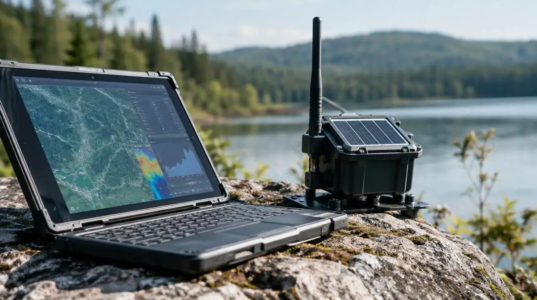
Dedicated Environmental Sensors
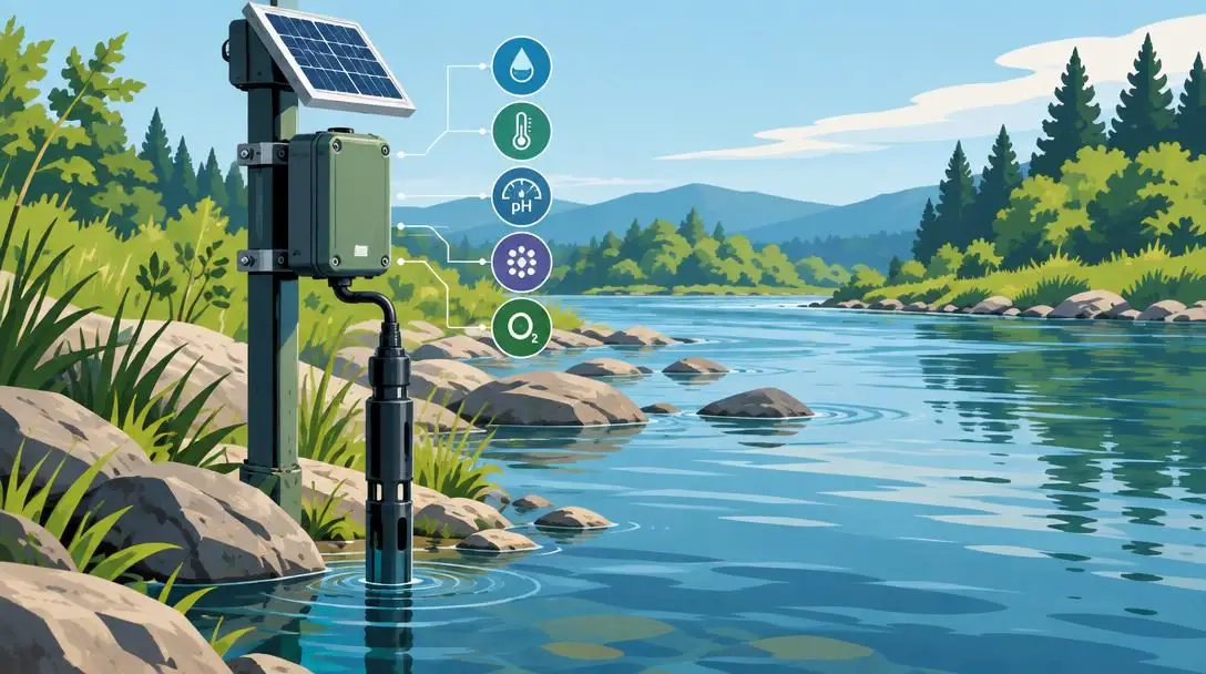
- Monitored Metrics: Temperature fluctuations, air pollution, water pollution
- Operational Mode: Continuous edge data recording and digital signal conversion
- Deployment Context: Terrestrial, aquatic, and atmospheric ground networks
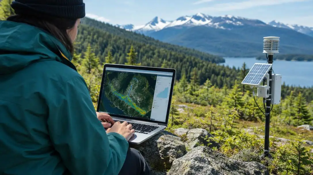
Dedicated sensors deployed directly into physical habitats measure vital ecological variables continuously. These instruments record shifts in temperature, track particulate matter in the air, and assess chemical or runoff pollution in waterways. By converting analog physical changes into structured digital data, sensors provide the baseline information required for real-time alerts and long-term ecological trend analyses.
Earth-Orbiting Satellites
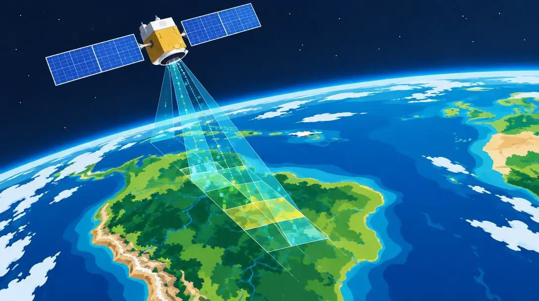
- Monitored Metrics: Broad geographic changes, land cover, regional patterns
- Operational Mode: Remote multispectral observation and digital telemetry
- Deployment Context: Low and medium Earth orbit
Orbiting satellites capture macro-level geographic data across entire biomes. By transmitting digital telemetry and high-resolution imagery back to computing stations, satellites allow conservationists to track large-scale landscape patterns, structural changes in forest cover, and regional environmental decay. Satellite monitoring eliminates geographic isolation, bringing even the most inaccessible wilderness areas under regular computational observation.
Aerial Drones and Camera Traps
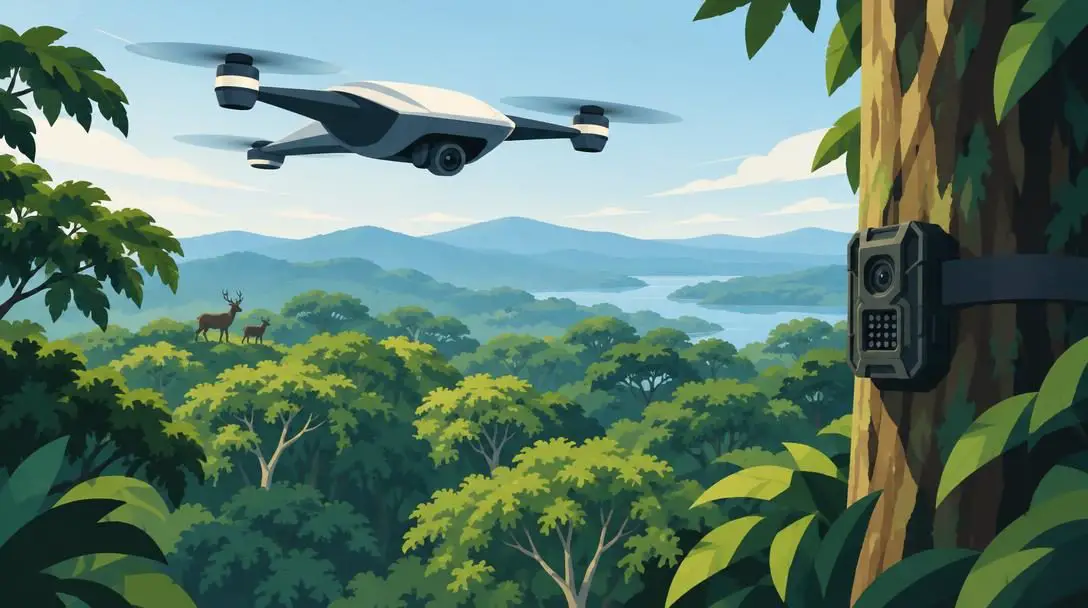
- Monitored Metrics: Animal densities, herd sizes, migration corridors
- Operational Mode: Visual and thermal imaging without human disturbance
- Deployment Context: Low-altitude airspace and sensitive ground habitats
Monitoring endangered species requires capturing detailed observations without introducing human presence that could disrupt breeding, feeding, or nesting habits. Drones equipped with digital cameras and sensors monitor wildlife populations and terrain from above, avoiding the stress caused by foot patrols or motorized vehicle operations. On the ground, motion-activated camera networks track animal densities, calculate pack sizes, and document seasonal migrations across vulnerable wildlife corridors.
Predictive Modeling Platforms
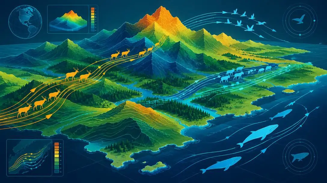
- Monitored Metrics: Population projections, climatic shifts, habitat stability
- Operational Mode: Probabilistic scenario simulations and algorithm-driven forecasting
- Deployment Context: Centralized computing laboratories and cloud platforms
Beyond tracking what is currently happening in an ecosystem, computing platforms allow scientists to construct and run predictive models. These computational frameworks ingest historical baselines alongside real-time metrics to simulate future scenarios. By calculating how changes in ambient temperature, rainfall patterns, or habitat degradation will affect animal populations down the line, these models provide land managers with the evidence needed to update policies before a species experiences catastrophic decline.
Comparing Computational Conservation Tools
Different computational tools solve distinct operational challenges. Selecting the right tool depends on whether an initiative demands localized precision, broad spatial coverage, or forward-looking simulations.
| Tool Category | Primary Data Captured | Spatial Scale | Core Conservation Advantage |
|---|---|---|---|
| Environmental Sensors | Water pollution, air quality, temperature shifts | Local point source | Delivers real-time detection of rapid chemical or physical spikes |
| Earth-Orbiting Satellites | Multispectral imagery, landscape structural changes | Regional to continental | Enables macro-level tracking of long-term habitat loss |
| Drones and Camera Traps | Visual counts, animal density, migration tracks | Intermediate corridor | Observes wildlife non-invasively without human disturbance |
| Predictive Modeling Platforms | Probabilistic forecasts of population survival | System-wide or predictive | Simulates ecological outcomes to guide preemptive policy |
The Data Journey: From Field Edge to Actionable Policy
Deploying computational conservation is not merely a matter of placing gadgets in the wild; it requires an integrated data pipeline that converts raw physical readings into practical policy decisions.
The process begins with data acquisition, where edge hardware—ranging from aquatic sensors and camera traps to orbiting satellites—records physical metrics, acoustic levels, or visual footage. Once recorded, the hardware manages data digitization and transmission, converting analog readings into digital files that are saved to local memory or broadcast over radio, cellular, or satellite connections.
Upon reaching centralized servers or cloud infrastructure, the pipeline handles automated ingestion and organization. Computing systems clean anomalies, eliminate corrupt readings, and index files by timestamp, geographic coordinates, and device ID. Next, analysis and pattern identification systems scan the structured data. Computational models inspect visual feeds to count wildlife, while analytical programs flag anomalous chemical spikes in waterways.
From there, historical and real-time streams feed into predictive processing, where simulations project how shifts in temperature, weather, or tree cover will alter animal survival and movement. Finally, the pipeline enters the decision support and action phase. Biological findings and alerts appear on analytical dashboards, allowing wildlife managers to adjust field patrol schedules, launch targeted habitat restorations, and update local protective regulations.
Step-by-Step Implementation for Conservation Teams
Integrating computing into wilderness management requires a structured approach to prevent technological failure and financial waste. Conservation organizations should follow a disciplined, progressive roadmap:
- Define conservation goals and monitoring scope: Establish the exact biological questions the deployment must answer, whether that means tracking endangered migrations, monitoring water contamination, or assessing habitat destruction.
- Assess field constraints and technical requirements: Evaluate the geographic, climatic, and biological realities of the site, noting extreme temperatures, terrain hazards, and species vulnerabilities to human presence.
- Select appropriate computational tools: Match operational needs with hardware, choosing among ground sensors, drone operations, camera networks, or satellite imagery based on spatial and temporal requirements.
- Establish robust power and redundancy plans: Build resilient hardware setups that feature secondary data-logging units, durable battery systems, and routine maintenance windows to avoid total data loss during hardware failures.
- Develop automated data ingestion workflows: Construct software architectures that automatically parse, clean, and catalog incoming data streams, eliminating manual entry bottlenecks.
- Configure predictive and analytical models: Link cleaned sensor outputs and population tallies into modeling tools that simulate ecological trends and predict the downstream effects of climatic shifts.
- Translate computational insights into action: Design an operational framework that connects analytical outputs directly to field interventions, including community engagement and updated habitat policies.
Common Operational Pitfalls to Avoid
Despite the immense promise of computational tools, poorly planned deployments can waste limited conservation capital or compromise research objectives. Teams frequently encounter several major operational traps:
- Underestimating equipment and infrastructure costs: Teams often allocate funds for initial hardware purchases like drones or sensors, but fail to budget for ongoing software licenses, cloud storage, replacement units, and specialized engineering support.
- Neglecting system redundancy: Field hardware in remote wilderness areas is vulnerable to physical damage, moisture, and battery degradation. Relying on a single sensor or network path risks catastrophic data loss if that device fails.
- Failing to schedule regular maintenance: While automation reduces the need for constant physical presence, devices still require routine inspection, recalibration, lens cleaning, and firmware updates to ensure accurate data capture.
- Collecting unstructured data without analytical capacity: Deploying hundreds of camera traps without automated filtering software creates massive backlogs of unstructured footage that staff cannot process in a timely manner.
- Ignoring the disturbance threshold of technology: Operating drones too low or placing recording hardware directly inside critical breeding grounds can induce physiological stress in wildlife, undermining the core mission of species protection.
Strategic Trade-Offs and Long-Term Considerations
Adopting computational solutions requires balancing powerful automated systems against practical, real-world constraints. As conservation teams evaluate future expansions of their computing infrastructure, they must navigate several ongoing trade-offs.
Chief among these is balancing automation with direct intervention. Automated workflows save valuable time and eliminate calculation errors, allowing researchers to reallocate their attention toward direct restoration projects and community outreach. However, automated systems cannot replace human ecological judgment, ethical oversight, or the personal relationships required to build local community support for conservation laws. Managers must carefully decide which analytical steps to entrust to algorithms and which operational choices require on-the-ground human leadership.
Similarly, budget constraints demand strict prioritization. High-end computing platforms, remote satellite feeds, and advanced autonomous drones carry substantial capital and operational costs. Organizations must critically assess whether a high-tech tool delivers insights that genuinely improve conservation outcomes, or if simpler, more cost-effective field monitoring methods can achieve comparable results.
Frequently asked questions
What is the main difference between environmental monitoring and conservation?
Environmental monitoring is the diagnostic process of collecting data on natural conditions to assess overall ecosystem health and detect emerging threats. Conservation is the active application of policies, management strategies, and restoration efforts designed to protect and preserve those natural resources for the future.
How do computing systems reduce human disturbance in wildlife habitats?
Computing tools like autonomous drones, remote camera traps, and connected field sensors gather high-resolution ecological data from a distance. This reduces the need for continuous foot patrols or motorized ground vehicles in delicate breeding, nesting, and foraging areas.
Why is predictive modeling critical for wildlife management?
Predictive modeling combines real-time environmental metrics with historical population data to simulate how future habitat or climate shifts will affect wildlife. This forewarning allows conservation managers to take preventive action before a species suffers severe, irreversible population decline.
What causes computational conservation projects to fail in the field?
Common causes of project failure include failing to plan for ongoing equipment maintenance, lacking secondary system redundancy when hardware breaks, underestimating data storage costs, and gathering massive amounts of sensor data without having automated analysis software in place.
Does automated conservation computing replace traditional wildlife biologists?
No. Computing automates repetitive tasks such as continuous data logging, anomaly detection, and preliminary file sorting. This automation frees wildlife biologists to focus on high-level ecological analysis, on-the-ground habitat restoration, and collaborative work with local communities.
The Bottom Line
The convergence of computing and ecology has fundamentally reshaped how society understands and protects the natural world. By transforming sporadic, manual observations into continuous, automated data streams, computational conservation provides scientists with the clarity and speed required to respond to rapid ecological shifts. When implemented with careful planning, robust system redundancy, and respect for natural wildlife behaviors, computing stands as one of the most powerful assets in modern efforts to preserve the planet's biodiversity.