The World of Geocaching: Combining Technology and Adventure in the Great Outdoors
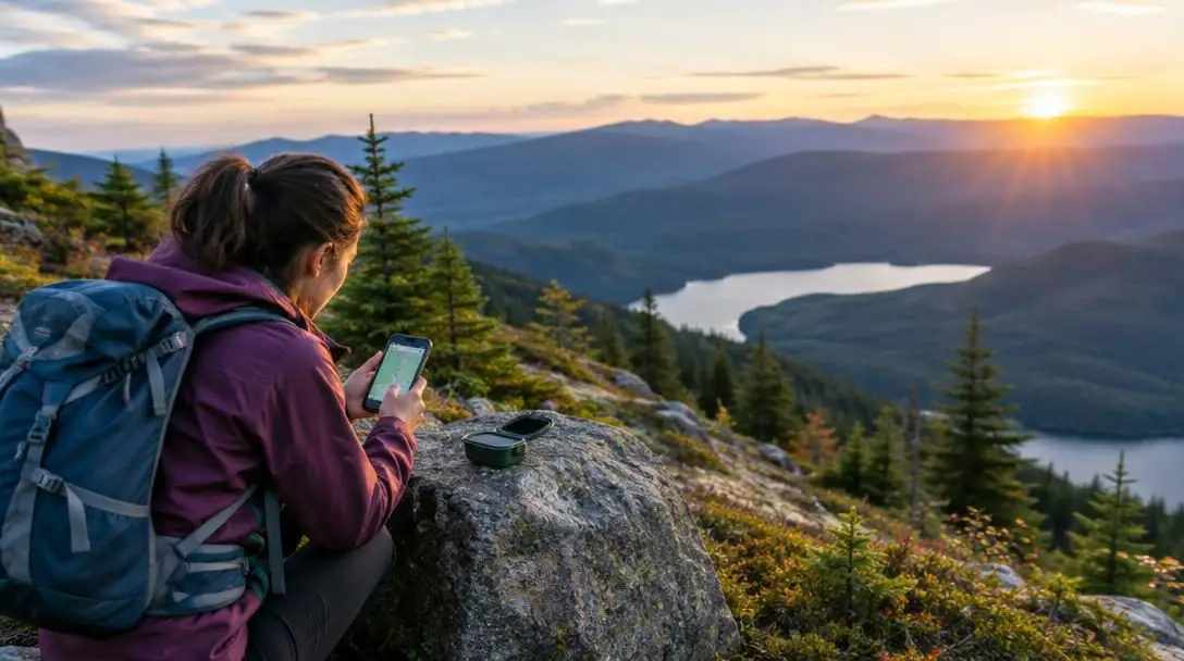
Geocaching combines modern satellite navigation with the timeless thrill of a real-world scavenger hunt. Whether tucked beneath a fallen branch in a remote forest, magnetically secured to an urban guardrail, or hidden along a neighborhood park trail, hidden containers known as geocaches exist across virtually every corner of the globe. By using satellite coordinates and observant field detective work, everyday walkers transform routine outdoor excursions into interactive, rewarding expeditions.
At its core, the pastime bridges digital technology and physical exploration, welcoming participants of all ages and athletic abilities. With millions of active caches placed across worldwide coordinates, the game invites players to look at familiar landscapes with renewed curiosity, unlocking hidden spots and scenic viewpoints that ordinary passersby overlook entirely.
Key takeaways
- Geocaching originated in Oregon in May 2000 following an improvement in civilian GPS accuracy and has since grown into a global outdoor pastime.
- Participants use GPS-enabled handheld devices or smartphones to travel to posted coordinates before switching to physical observation to locate hidden waterproof containers.
- Cache types range from simple traditional containers to multi-stage journeys, complex brain-teasing puzzle caches, virtual visits, and multimedia adventures.
- The global geocaching culture emphasizes outdoor stewardship through organized Cache In Trash Out (CITO) events that preserve trails and public parks.
- Successful outings depend on basic trail etiquette, such as signing the physical logbook, trading items of equal or greater value, and returning caches to their exact hiding spots.
The origins and milestone history of geocaching
The global game of geocaching was born directly out of a significant technological shift in satellite positioning. In early May 2000, the United States government discontinued Selective Availability, an intentional degradation of civilian satellite signals. Overnight, the accuracy of non-military GPS devices improved dramatically, shrinking location discrepancies from the size of a football field down to mere meters. Seeing an opportunity to test this newly sharpened precision, computer consultant Dave Ulmer conceived a recreational experiment in the wooded landscape outside Portland, Oregon.
On May 3, 2000, Ulmer buried a black plastic bucket in the woods near Estacada, Oregon, noting its exact coordinates with a handheld receiver. He posted the geographic coordinates to an internet user group alongside a simple set of guidelines: Take some stuff, leave some stuff. Inside the bucket, he placed a logbook, a pencil, and an assortment of odd trinkets, including software, books, and food items. The concept spread instantly across online mapping and navigation communities.
Just days later, on May 30, an enthusiast named Mike Teague located the container, recording the very first documented find in the history of the sport. Teague began logging coordinates on his own website as other enthusiasts hid containers across several states. Within months, the activity gained a formal name—geocaching—and an online home where players worldwide could register coordinates, record logs, and build an international network of outdoor treasure hunts.
Geocaching bridges the gap between digital navigation and physical exploration, turning an ordinary outdoor walk into an interactive treasure hunt.
How the hunt works in the field
The basic mechanics of geocaching are delightfully straightforward, yet they present endless variations in practice. The hunt begins digitally on a dedicated app or website, where players select a target container based on its location, container size, terrain rating, and difficulty score. Each listing provides the precise coordinates alongside descriptive notes, parking coordinates, and optional encrypted hints provided by the cache owner.
Armed with either a dedicated handheld GPS receiver or a GPS-enabled smartphone, the searcher travels to the designated area. However, satellite technology only solves the first half of the puzzle. Once a player arrives within twenty or thirty feet of the ground zero coordinates, satellite drift and overhead cover mean the digital device can do no more. The searcher must pocket the screen and transition entirely to physical observation.
Locating the container demands a sharp eye for subtle environmental disruptions. Caches may be housed in waterproof ammunition cans, plastic food containers, magnetic key holders, or hollowed-out bolts and artificial rocks designed to blend seamlessly into their surroundings. Inside every legitimate cache sits a paper logbook or scroll. The finder records their handle and the date of discovery, inspects any small trinkets left for trading, reseals the container tightly against moisture, and returns it precisely to the spot where it was found.
Exploring the primary styles of geocaches
As the sport has matured, community members have devised distinct styles of hides to offer varying physical and intellectual challenges. Whether you prefer a quick park-and-grab on your lunch break or a multi-mile trek requiring deductive reasoning, understanding the different cache classifications ensures you choose an outing tailored to your preferences.
| Cache Type | Physical Container | Navigation Method | Best For |
|---|---|---|---|
| Traditional Cache | Yes (at posted coordinates) | Direct GPS navigation | Beginners and family outings |
| Multi-Cache | Yes (at final stage) | Multi-stage waypoint clues | Scenic hikes and historical tours |
| Mystery Cache | Yes (at solved coordinates) | Code-breaking or puzzle solving | Fans of riddles and logic games |
| Virtual Cache | No (landmark only) | Direct GPS with photo verification | Environmentally sensitive areas |
| Wherigo Cache | Yes (or virtual completion) | Interactive GPS story file | Tech enthusiasts and story lovers |
Traditional Cache
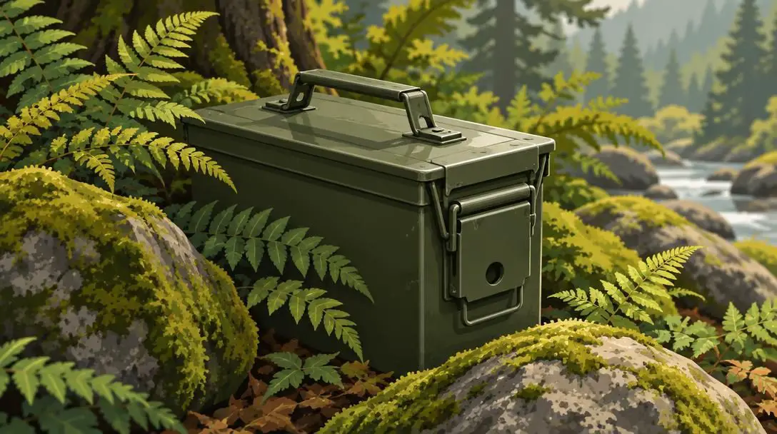
The Traditional Cache remains the foundational format of the entire sport and the most frequently encountered style worldwide. In this format, the coordinates published on the listing page mark the exact resting spot of the physical container. Traditional hides range dramatically in scale, from tiny micro containers smaller than a thimble to large storage crates packed with tradeable items and trackables. Because they require no preliminary problem-solving, traditional caches are the ideal entry point for beginners learning how to gauge satellite accuracy and recognize field camouflage.
Multi-Cache
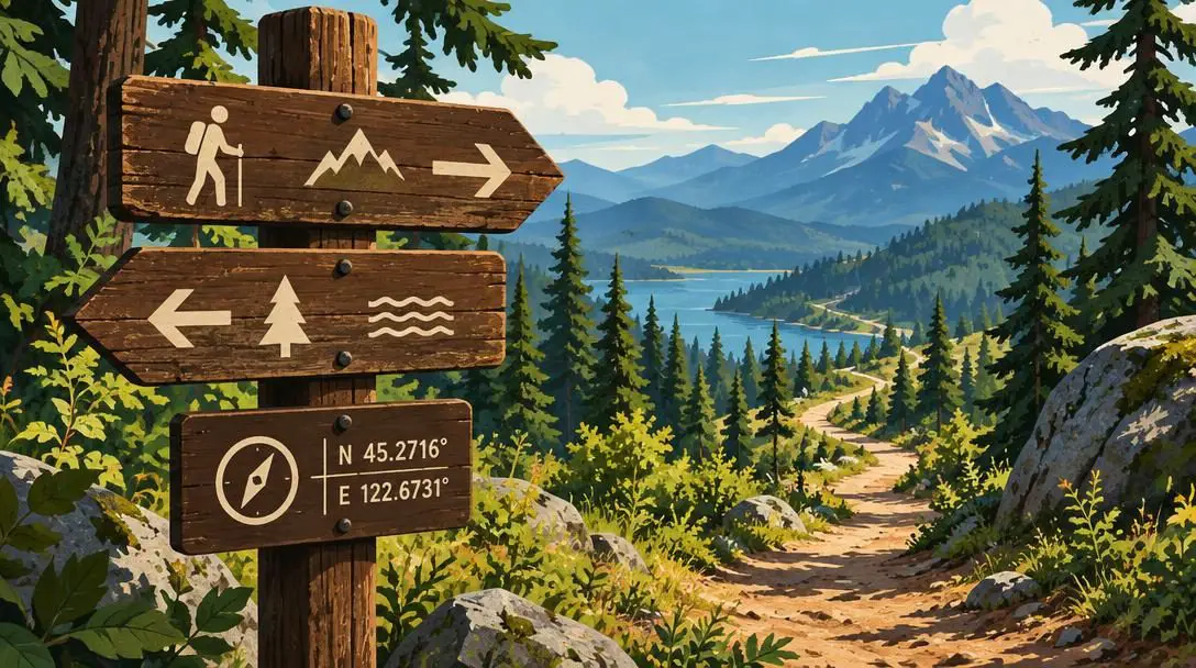
A Multi-Cache turns a standard search into a progressive, multi-stage journey through an environment. The coordinates posted online direct the player to an initial waypoint, which rarely contains a container. Instead, the seeker gathers clues from that site—such as counting numbers on a historical plaque, reading architectural features, or finding a physical tag stamped with numbers. These clues supply the mathematical values required to calculate the coordinates for the next stage or the final hidden lockbox.
Mystery Cache

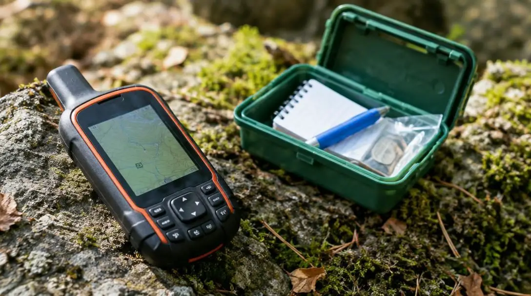
Known alternatively as a puzzle cache, the Mystery Cache demands intellectual detective work before you ever set foot on the trail. The coordinates displayed at the top of a mystery cache listing are intentionally bogus, usually placed in the middle of a lake, a busy highway intersection, or an open field nearby. To reveal the true coordinates, players must decipher codes, solve algebraic equations, identify patterns, translate foreign languages, or complete trivia challenges embedded in the web page text.
Virtual Cache

Unlike standard hides, a Virtual Cache features no physical waterproof box, no paper logbook, and no tradeable trinkets. Instead, the objective is the destination itself. Virtual caches are commonly approved in delicate ecological areas, national park reserves, or historic monuments where burying or concealing a physical container would violate local conservation rules or encourage property damage. To log a successful find, players must visit the exact location and satisfy verification tasks, such as posting a photo of themselves or answering questions about specific details found on-site.
Wherigo Cache
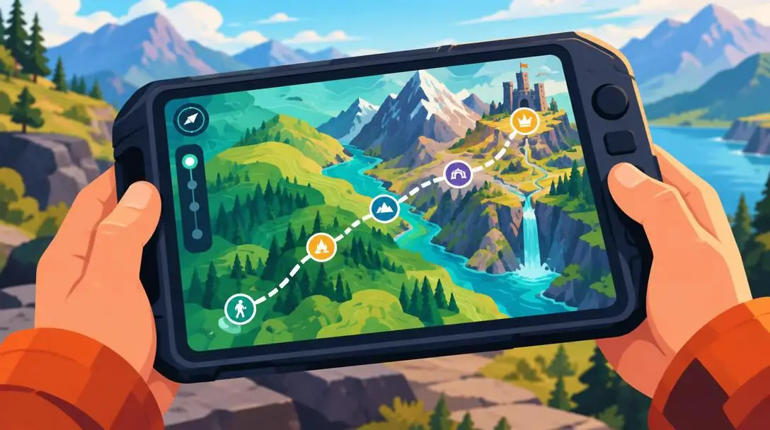
The Wherigo Cache represents a sophisticated fusion of geographic positioning and interactive adventure gaming. Players download a custom game file, known as a cartridge, onto a compatible handheld unit or smartphone app. As the player walks through the real world, the device reacts to physical proximity, triggering narrative chapters, virtual character encounters, inventory management, and interactive puzzles. Successfully navigating the interactive digital storyline ultimately rewards the seeker with the location of a physical container or a completion code to log online.
The evolution of satellite navigation and mobile apps
The technology underpinning geocaching has undergone an extraordinary evolution over the past quarter-century. When the game was established, participants were forced to invest in expensive standalone receivers designed primarily for marine navigation or land surveying. Coordinates had to be manually typed into units line by line, paper maps were printed for context, and hints had to be written down in physical notebooks before leaving home.
Today, the ubiquitous smartphone has revolutionized access. Modern handsets integrate advanced multi-constellation satellite receivers that connect simultaneously to GPS, GLONASS, and Galileo networks, yielding positioning accuracy within a few feet under clear skies. Intuitive mobile applications integrate real-time mapping, satellite photography, topographical elevation lines, and crowdsourced field notes into a single portable interface.
This digital connectivity allows instant access to millions of active worldwide listings. Searchers can filter hides by container dimensions, read recent logs to verify whether a container was found recently, view encrypted hints when stymied by camouflage, and submit digital logs immediately upon signing the physical register. Modern platforms also support offline data caching, allowing hikers to download map boundaries and coordinate databases before venturing into remote valleys where cellular coverage vanishes entirely.
Physical health, mental clarity, and outdoor mindfulness
While geocaching uses high-tech digital gear, its greatest rewards are undeniably physical and psychological. For many, conventional exercise routines like walking on a treadmill or circling a running track feel tedious. Geocaching remedies this by providing a tangible, gamified objective at the end of the trail. Walkers frequently cover three, five, or ten miles without noticing the fatigue, driven forward by the anticipation of uncovering the next hidden container.
The physical benefits are accompanied by profound mental wellness advantages. Navigating uneven natural terrain, climbing gentle inclines, and inspecting natural obstacles engages core stability and functional mobility. Meanwhile, hunting for a cleverly concealed object demands absolute, unhurried concentration. This deep observational focus pulls attention away from everyday occupational stress, email alerts, and digital fatigue, cultivating a state of active mindfulness immersed in the sounds, textures, and sights of nature.
Furthermore, geocaching serves as an exceptional educational catalyst. Navigating coordinates develops spatial awareness, directional literacy, and cartographic comprehension in both children and adults. EarthCaches introduce searchers to fascinating geological phenomena, while urban hides often illuminate forgotten historical events, public art installations, and architectural anomalies tucked away in plain sight.
Community culture and environmental stewardship
Beneath the technology and physical exploration lies a deeply cooperative international community. The entire game relies on an honor system: containers remain in place because participants treat them with respect, sign logbooks truthfully, and maintain the integrity of each hide for those who follow. This community ethos extends far beyond digital leaderboard rankings.
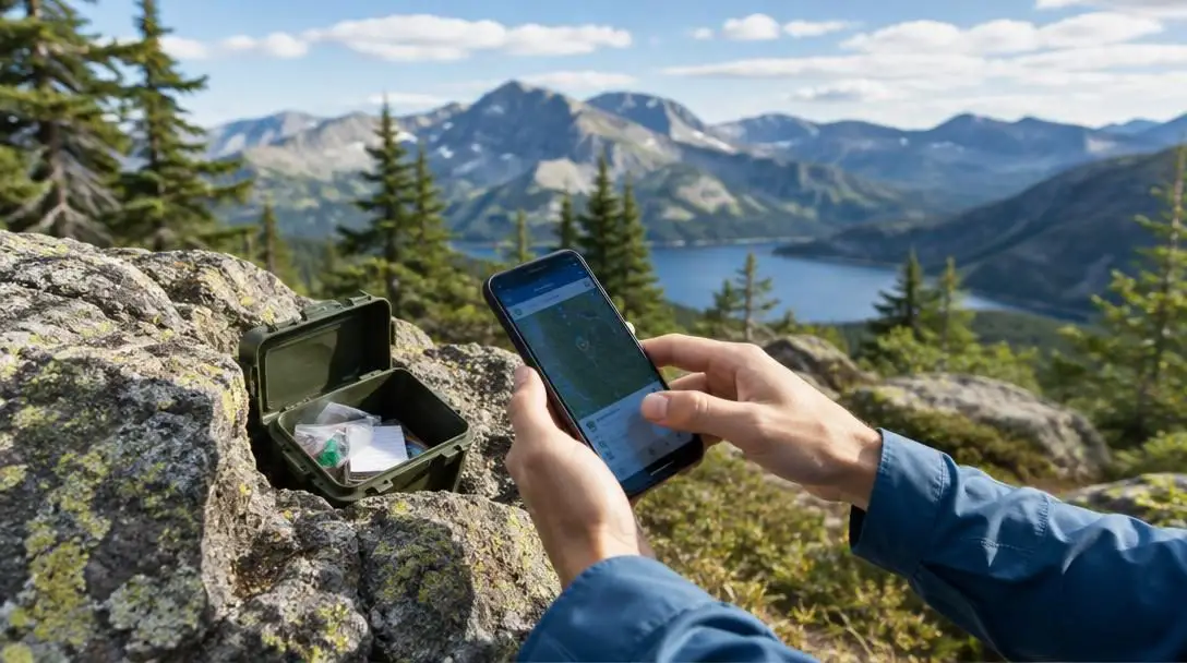
The premier manifestation of this community spirit is the Cache In Trash Out initiative, widely known as CITO. Since the early days of the activity, geocachers have dedicated their time to cleaning up the public spaces they explore. During formal CITO events, clubs, families, and solo searchers partner with local municipal parks and forest services to pick up litter, clear invasive plant species, plant native saplings, and repair damaged trail paths.
Local geocaching organizations also host regular meetups, pancake breakfasts, and coordinate races where veterans share puzzle-solving strategies and introduce novices to the community. These events foster meaningful interpersonal connections across generations, uniting retirees, young families, tech workers, and outdoor athletes under a shared appreciation for exploration.
Step-by-step guide to your first geocaching outing
Venturing out on your initial treasure hunt requires minimal equipment, but following a structured methodology ensures your excursion is enjoyable, safe, and respectful of the surrounding landscape.
- Set up your navigation tool: Download a reputable geocaching application on your smartphone or load waypoint coordinates onto a standalone GPS device. If you plan to head into a state park or wilderness zone, download offline map tiles before departing your home Wi-Fi network.
- Select a beginner-friendly target: Filter your search to display Traditional Caches with difficulty and terrain ratings of 1 or 1.5. Look for containers rated as "Regular" or "Small" rather than "Micro," as larger containers are substantially easier to spot on your first outing.
- Assemble your field gear: Pack a dedicated ballpoint pen, an external USB power bank to keep your smartphone charged, a small hand towel, tweezers for extracting tight paper log scrolls, and a few pocket-sized trinkets if you plan to trade swag inside the cache.
- Navigate to the coordinate zone: Follow your mapping display until you are within approximately twenty to thirty feet of the destination. At this point, store your device in your pocket and rely entirely on your eyes, looking for unnatural features in the environment.
- Search methodically: Scan the area from ground level to eye height. Inspect hollow logs, unusual rock formations, magnetic metal surfaces, knot holes in tree trunks, and suspiciously arranged piles of twigs or stones. If you are stuck after ten minutes, open the app to read the encrypted hint.
- Sign the log and handle the swag: Once the container is uncovered, gently open it, write your user name and the date in the paper logbook, and browse the trade items. If you choose to take a souvenir, always place an item of equal or greater value back inside the box.
- Reseal and replace with precision: Fasten all container latches and seals completely to protect the contents from rain and dampness. Return the container to the exact spot and orientation where you found it, replacing any natural camouflage that disguised it.
- Log your experience online: Open the cache page in your app, select "Log Geocache," and mark your find. Write a thoughtful note thanking the cache owner for their effort and noting the general condition of the container without giving away spoilers.
Common mistakes to avoid in the field
Even well-intentioned newcomers can inadvertently undermine the fun of the game or damage containers by overlooking key field etiquette. Keeping these frequent pitfalls in mind will preserve the hobby for everyone involved:
- Staring at the screen at ground zero: GPS signals fluctuate based on tree foliage, atmospheric interference, and nearby structures. Searching exclusively where your arrow points rather than surveying the landscape causes searchers to overlook hiding spots right next to them.
- Searching without discretion around non-players: Rummaging through bushes or peering under benches in busy public squares attracts suspicion. If curious bystanders see where a container is hidden, the cache is frequently stolen, damaged, or reported to authorities as a suspicious object.
- Taking items without trading fairly: The universal rule of cache trading requires leaving something equal or superior in value to whatever you remove. Emptying a container of fun toys or coins without replenishing it diminishes the experience for the next family that discovers it.
- Relocating the container to a different spot: Never assume you have discovered a better hiding place than the original owner. Moving a container even ten feet away can place it on private property, expose it to weather, or cause subsequent seekers to fail because the published coordinates no longer match.
- Failing to seal waterproof lids: Leaving latching tabs open, catching the corner of a plastic zip bag in the lid threads, or improperly sealing an ammunition can allows rainwater to enter, turning the physical paper logbook into unreadable pulp.
- Neglecting trail safety and boundaries: Never trespass onto posted private property, dismantle historical stone walls, or search near dangerous infrastructure such as high-voltage electrical boxes and active railroad tracks.
Hiding your own cache and advancing your skills
After logging several dozen finds across various terrains, many players choose to transition from seekers to cache owners. Concealing your own cache is an immensely satisfying way to contribute back to the global directory, but it carries a continuous stewardship obligation that should not be taken lightly.
The process begins with selecting an appropriate location. A great geocache introduces searchers to an interesting historical marker, a breathtaking overlook, a whimsical natural feature, or a peaceful public park they might otherwise never visit. Before placing any box, you must obtain explicit permission from the property owner, land manager, or local parks department. Caches should never be buried with a shovel or placed in areas where searchers might damage fragile flora or cause trail erosion.
Choosing an impervious container is equally paramount. High-grade ammunition cans, gasketed waterproof match containers, and authentic locking food storage containers withstand freezing winters and torrential summer rains. Standard cardboard boxes, metal tins that rust, and flimsy sandwich bags deteriorate quickly and should never be used. Once hidden, you must average multiple GPS coordinate readings over several minutes to ensure your published waypoint is as accurate as possible.
Finally, publishing a hide is a long-term commitment. As a cache owner, you are responsible for monitoring the online logs. If seekers report that the logbook is full, the container has cracked, or moisture has seeped inside, you must promptly visit the site to perform maintenance, swap out damaged components, or archive the listing if the location is no longer viable.
Frequently asked questions
Do I need to purchase an expensive GPS unit to start geocaching?
No, you do not need dedicated navigation hardware to begin. Most modern smartphones have built-in multi-constellation satellite chips that provide more than enough accuracy for standard geocaching outings through official and third-party mobile apps.
Is geocaching free to play?
Basic geocaching is free. Anyone can register an account and download mobile apps to access thousands of traditional beginner caches worldwide. Optional premium memberships exist to unlock advanced cache types, higher difficulty levels, and specialized search filters.
What should I do if a geocache is missing or damaged?
If you search thoroughly and cannot find a container, log a "Did Not Find" (DNF) on the cache listing so the owner knows there may be an issue. If you find a container that is broken or wet, log an "Owner Attention Requested" note explaining the maintenance needed.
Can I keep the items I find inside a geocache?
You may keep small trinkets and trade items, provided you leave behind an item of equal or greater value for the next finder. However, the physical container, the logbook, and trackable game pieces with identification numbers must remain in the game.
Is geocaching safe for children and families?
Geocaching is an exceptional family activity when planned thoughtfully. Families should focus on caches with low terrain and difficulty ratings located in public parks, inspect containers before children reach inside, and supervise young searchers around natural hazards.
The bottom line
Geocaching transforms how you perceive the geography of everyday life. By blending modern satellite positioning with the timeless allure of an outdoor scavenger hunt, it turns ordinary walks into thrilling expeditions and introduces you to hidden wonders right in your own community. With millions of containers waiting in city centers, tranquil nature reserves, and rugged mountain paths, your next outdoor adventure is only a set of coordinates away.